CZ, CAP Measure for Agroforestry
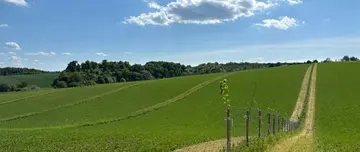
© Špaková, 2024
Map
Privacy notice for OpenStreetMap
When using the interactive OpenStreetMap, personal data, in particular your IP address, is transmitted to the OpenStreetMap server. This is done in order to display the map data and provide the service.
CZ, CAP Measure for Agroforestry
Best practice profile
Good practice
CAP measure for Agroforestray
Country
Czech Republic
Biographical Region
Continental, Pannonian
Agriculture Use
Arable land and grassland eligible for CAP support and registered in the Land Parcel Information System (LPIS) (3,5 million ha).